Illinois Maps Home > Illinois Map Collection > Peoria Map
Road Map of Peoria
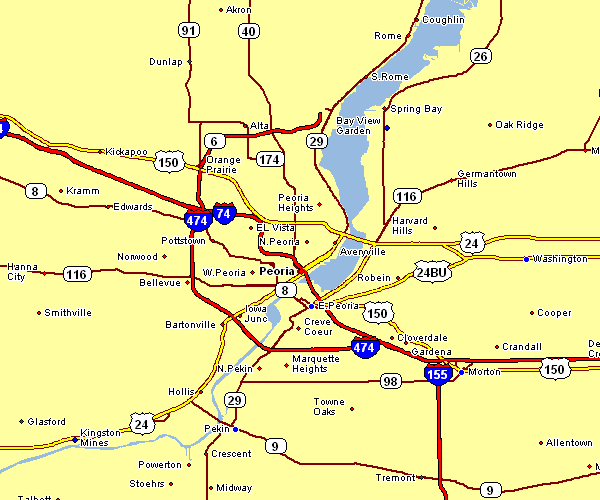
This image is a simple plan that lays out the geography of this region with a classic selection of elements.
You are allowed to share the map file and utilize it for a variety of purposes. Linking back to this resource is always appreciated. Thank you kindly.
On the assumption you call for help retrieving a map, a special kind of map, or call for a proper individualized production, please do not hesitate to get in touch with us.
Acquire proper custom-made maps from us. Our custom maps consist of a full medley of map elements, such as: dog tracks, legend, UTM coordinates, campsites, marine navigation features, springs, district municipalities, or river features, etc. Map types range from orienteering to wall, printed to electronic, census tracts to voting districts.
Proper maps are detailed, elaborate, and not out-of-date. Finest map production by YellowMaps.
To buy hardcopy maps, such as road atlases, maps for kids, or maps for canoeing, just browse YellowMaps Map Store There, you will discover over 100,000 map products.
Maps are beautiful.
Back to Illinois map collection